Filter By
- Book
- Qty in Cart
- Quantity
- Price
- Subtotal
-

Edinburgh's Hidden Walks by Stephen Millar 9781902910697
RRP: £11.99£8.43Apologies but we at Booksplease don't have a full description for this book.Book InformationISBN 9781902910697Author Stephen MillarFormat PaperbackPage Count 416Imprint Metro Publications, N1Publisher Metro Publications, N1Weight(grams) 105g -
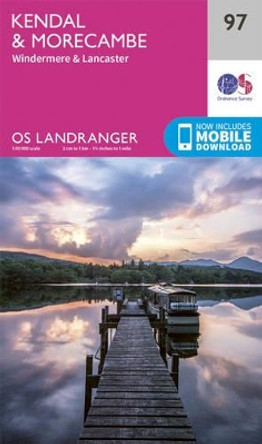
Kendal & Morecambe by Ordnance Survey 9780319263402
RRP: £12.99£8.78The OS Landranger Map series covers Great Britain with 204 detailed maps, perfect for day trips and short breaks. Each map provides all the information you need to get to know your local area and includes places of interest, tourist information, picnic... -

Walking Charles Dickens' Kent by Andy Bull
RRP: £9.99£7.58Apologies but we at Booksplease don't have a full description for this book.Book InformationISBN 9781910758502Author Andy BullFormat PaperbackPage Count 160Imprint Stobart Davies LtdPublisher Stobart Davies Ltd -

Waterside Walks in Hampshire by Nick Battle
RRP: £9.99£8.1720 simple, circular routes covering the whole of Hampshire and the New Forest, with everything from crystal-clear chalk streams to spectacular coastline. River, canal and coastal walks to suit all the family. With everything from crystal-clear chalk... -

Newport and Pontypool / Casnewydd a Phont-Y-Pwl by Ordnance Survey 9780319243459
RRP: £12.99£8.78OS Explorer is the Ordnance Survey's most detailed map and is recommended for anyone enjoying outdoor activities like walking, horse riding and off-road cycling. The OS Explorer range now includes a digital version of the paper map, accessed through the... -

Brighton & Lewes, Haywards Heath by Ordnance Survey 9780319262962
RRP: £12.99£8.78The OS Landranger Map series covers Great Britain with 204 detailed maps, perfect for day trips and short breaks. Each map provides all the information you need to get to know your local area and includes places of interest, tourist information, picnic... -

Grimsby, Louth & Market Rasen by Ordnance Survey
RRP: £12.99£8.78The OS Landranger Map series covers Great Britain with 204 detailed maps, perfect for day trips and short breaks. Each map provides all the information you need to get to know your local area and includes places of interest, tourist information, picnic... -

Porthmadog & Dolgellau by Ordnance Survey 9780319262221
RRP: £12.99£8.78The OS Landranger Map series covers Great Britain with 204 detailed maps, perfect for day trips and short breaks. Each map provides all the information you need to get to know your local area and includes places of interest, tourist information, picnic... -

Northwich and Delamere Forest by Ordnance Survey
RRP: £12.99£8.78OS Explorer is the Ordnance Survey's most detailed map and is recommended for anyone enjoying outdoor activities like walking, horse riding and off-road cycling. The OS Explorer range now includes a digital version of the paper map, accessed through the... -

Anglesey West by Ordnance Survey 9780319471340
RRP: £16.99£11.87OS Explorer is the Ordnance Survey's most detailed map and is recommended for anyone enjoying outdoor activities such as walking, horse riding and off-road cycling. The series provides complete GB coverage and can now be used in all weathers thanks to OS... -

Marlborough and Savernake Forest by Ordnance Survey 9780319470299
RRP: £16.99£11.87OS Explorer is the Ordnance Survey's most detailed map and is recommended for anyone enjoying outdoor activities such as walking, horse riding and off-road cycling. The series provides complete GB coverage and can now be used in all weathers thanks to OS... -

Guide to Bristol & Bath Pub Walks: 20 Pub Walks by Nigel Vile 9781846743481
RRP: £6.99£5.87Looking for the best pub walks in and around Bristol and Bath? This is the book for you. This super-handy, pocket-sized guide features 20 circular routes varying in length from 4 to 8 miles, all of which start and finish at a top local pub. ... -

Denbigh & Colwyn Bay by Ordnance Survey
RRP: £12.99£8.78The OS Landranger Map series covers Great Britain with 204 detailed maps, perfect for day trips and short breaks. Each map provides all the information you need to get to know your local area and includes places of interest, tourist information, picnic... -

Walking the Old Ways of South Shropshire by Andy Johnson 9781910839348
RRP: £12.95£10.98Apologies but we at Booksplease don't have a full description for this book.Book InformationISBN 9781910839348Author Andy JohnsonFormat PaperbackPage Count 208Imprint Logaston PressPublisher Fircone Books Ltd -

West Yorkshire Countryside: Country Walks on City Fringes by Paul Hannon 9781907626227
RRP: £5.99£5.81This new title is the latest in the new series of Paul Hannon's walking guides covering Yorkshire. A range of enhancements see a more logical geographical spread, in this case featuring the entire eastern half of West Yorkshire. With Calderdale, the... -

Guide to Suffolk Pub Walks by Laurie Page 9781846743450
RRP: £6.99£5.87The 20 walks in this pocket book are centred on a broad variety of good, and in some cases award-winning, pubs. The circular walks vary in length from 3 to 5.5 miles and take you through some of the best countryside in England. The routes include... -

Barra and Vatersay / Barraigh Agus Bhatarsaigh by Ordnance Survey
RRP: £12.99£8.78OS Explorer is the Ordnance Survey's most detailed map and is recommended for anyone enjoying outdoor activities like walking, horse riding and off-road cycling. The OS Explorer range now includes a digital version of the paper map, accessed through the... -

Isle of Man Coastal Path: Raad Ny Foillan - The Way of the Gull; The Millennium and Herring Ways by Aileen Evans 9781852848798
RRP: £12.95£9.07Raad ny Foillan (The Way of the Gull) is a 98 mile footpath around the Isle of Man. The route description is set out as a circuit and split into stages, with the longest walk being 15.5 miles and the shortest being 7 miles. Any fast walkers may wish to... -

Dingle Way (4 ed) by Sandra Bardwell
RRP: £14.99£11.67The Dingle Way runs for 114 miles (183 km) around the beautiful Dingle Peninsula. It starts and finishes in Tralee, accessible by train or bus from Dublin and from Kerry Airport. The complete walk takes eight days, but it can easily be shortened. The... -

Trekking the Coast to Coast Path: Two-way trekking guide by Andrew McCluggage 9781912933143
RRP: £16.99£13.80The definitive two-way guide to the Coast to Coast Path: both eastbound and westbound routes are described in full. Real Maps: Full Ordnance Survey mapping inside (1:25,000). All accommodation is numbered and marked on the maps. 19 different itineraries:... -

Trekking the Cleveland Way: Two-way guidebook with OS 1:25k maps: 20 different itineraries by Andrew McCluggage 9781912933174
RRP: £16.99£13.80The definitive two-way guide to the Cleveland Way, one of England's epic National Trails: both eastbound and westbound routes are described in full. Real Maps: Full Ordnance Survey mapping inside (1:25,000). All accommodation is numbered and marked on... -

Doncaster, Conisbrough, Maltby and Thorne by Ordnance Survey 9780319244760
RRP: £12.99£8.78OS Explorer is the Ordnance Survey's most detailed map and is recommended for anyone enjoying outdoor activities like walking, horse riding and off-road cycling. The OS Explorer range now includes a digital version of the paper map, accessed through the... -

The Western Fells: Wainwright's Illustrated Walking Guide to the Lake District Book 7 by Alfred Wainwright
RRP: £15.99£10.93One name above all others has become associated with walking in the Lake District: A. Wainwright, whose seven-volume Pictorial Guide to the Lakeland Fells, first published in 1955-66, has become the definitive guidebook. Wainwright's meticulously... -

Chelmsford, Harlow & Bishop's Stortford by Ordnance Survey 9780319262658
RRP: £12.99£8.78The OS Landranger Map series covers Great Britain with 204 detailed maps, perfect for day trips and short breaks. Each map provides all the information you need to get to know your local area and includes places of interest, tourist information, picnic... -
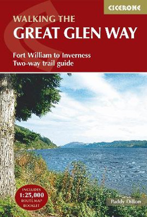
The Great Glen Way: Fort William to Inverness Two-way trail guide by Paddy Dillon 9781852848019
RRP: £14.95£9.77Guidebook to walking the Great Glen Way, one of Scotland's Great Trails that runs along the Great Glen between Fort William and Inverness. The guidebook - which includes both a guide to the route and a separate OS map booklet - describes the route in... -
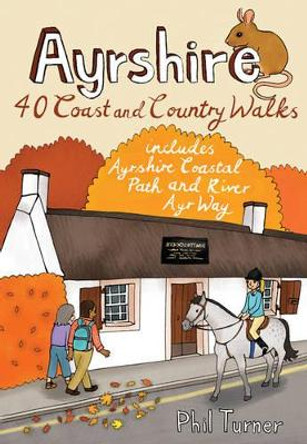
Ayrshire: 40 Coast and Country Walks by Phil Turner 9781907025396
RRP: £6.99£5.75The county of Ayrshire is located on the Firth of Clyde on the beautiful West Coast of Scotland and is known as one of the most fertile areas of the country, famed for its cattle and crops. Although more industrial to the north, it is in the main a... -

Barnstaple & Ilfracombe, Lynton & Bideford by Ordnance Survey 9780319262788
RRP: £12.99£6.66The OS Landranger Map series covers Great Britain with 204 detailed maps, perfect for day trips and short breaks. Each map provides all the information you need to get to know your local area and includes places of interest, tourist information, picnic... -
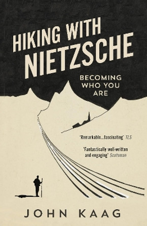
Hiking with Nietzsche: Becoming Who You Are by John Kaag 9781783784950
RRP: £10.99£7.32Hiking with Nietzsche is a tale of two philosophical journeys in the Swiss Alps: one made by John Kaag as an introspective teenager, the other seventeen years later in radically different circumstances - as a husband and father with his wife and small... -

Bedford and St.Neots, Sandy and Biggleswade by Ordnance Survey 9780319244012
RRP: £12.99£8.78OS Explorer is the Ordnance Survey's most detailed map and is recommended for anyone enjoying outdoor activities like walking, horse riding and off-road cycling. The OS Explorer range now includes a digital version of the paper map, accessed through the... -

Winchester & Basingstoke, Andover & Romsey by Ordnance Survey 9780319262832
RRP: £12.99£8.78The OS Landranger Map series covers Great Britain with 204 detailed maps, perfect for day trips and short breaks. Each map provides all the information you need to get to know your local area and includes places of interest, tourist information, picnic... -

Peebles and Innerleithen by Ordnance Survey 9780319472095
RRP: £16.99£11.87OS Explorer is the Ordnance Survey's most detailed map and is recommended for anyone enjoying outdoor activities such as walking, horse riding and off-road cycling. The series provides complete GB coverage and can now be used in all weathers thanks to OS... -

Europe's High Points: Reaching the summit of every country in Europe by Rachel Crolla
RRP: £14.95£11.64A guide to reaching the summit of every country in Europe - driving, walking and climbing routes to the tops of 50 countries in Europe. Detailed route descriptions, sketch maps - advice on transport, seasons, grading and gear. Heading to the highest... -

The Mountains of Romania: Trekking and walking in the Carpathian Mountains by Janneke Klop 9781852849481
RRP: £18.95£13.59This guide describes 27 short treks of 2-6 days and 10 day walks in the mountains of Romania. Although there is a slight focus on Transylvania, most of the main massifs are included, with chapters covering the Mountains of Maramures, the Eastern... -
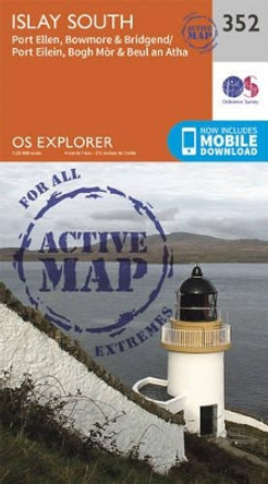
Islay South by Ordnance Survey 9780319472231
RRP: £16.99£11.87OS Explorer is the Ordnance Survey's most detailed map and is recommended for anyone enjoying outdoor activities such as walking, horse riding and off-road cycling. The series provides complete GB coverage and can now be used in all weathers thanks to OS... -

Marlborough and Savernake Forest by Ordnance Survey 9780319243503
RRP: £12.99£10.78OS Explorer is the Ordnance Survey's most detailed map and is recommended for anyone enjoying outdoor activities like walking, horse riding and off-road cycling. The OS Explorer range now includes a digital version of the paper map, accessed through the... -

Snowdonia Slate Trail by Aled Owen
RRP: £14.99£11.67The Snowdonia Slate Trail is a waymarked trail that runs for 83 miles from Bangor on the North Wales coast, making a circuit through the heart of Snowdonia to end at Bethesda. The trail joins up villages with a choice of welcoming accommodation. The... -
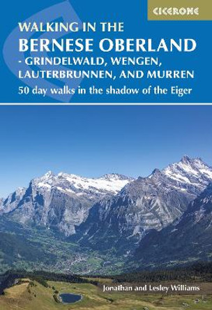
Walking in the Bernese Oberland - Jungfrau region: 50 day walks in Grindelwald, Wengen, Lauterbrunnen and Murren by Lesley Williams
RRP: £17.95£12.92A guidebook to 50 day walks in Switzerland's Bernese Oberland. Exploring the dramatic scenery of the Jungfrau region the walks are suitable for beginner and experienced walkers alike and cover Grindelwald, Wengen, Lauterbrunnen Valley and Murren.Walks... -

Walks in the South Downs National Park by Kev Reynolds
RRP: £12.95£11.65A guidebook to 40 day walks in the South Downs National Park. Exploring the beautiful chalk hills between Eastbourne and Winchester, there's something for beginner and experienced walkers alike. The walks range in length from 8 to 18km (5-11... -
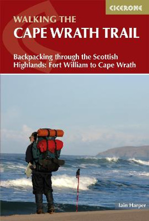
Walking the Cape Wrath Trail: Backpacking through the Scottish Highlands: Fort William to Cape Wrath by Iain Harper
RRP: £17.95£12.92This guidebook describes the Cape Wrath Trail, a long-distance trek from Fort William to Cape Wrath crossing the wild northwest of the Scottish Highlands. The route is described from south to north in 14 stages, with 6 alternative stages along the way,... -

Loch Tay & Glen Dochart by Ordnance Survey 9780319261491
RRP: £12.99£8.78The OS Landranger Map series covers Great Britain with 204 detailed maps, perfect for day trips and short breaks. Each map provides all the information you need to get to know your local area and includes places of interest, tourist information, picnic...
