Filter By
- Book
- Qty in Cart
- Quantity
- Price
- Subtotal
-

Small and Short-Range Radar Systems Gregory L. Charvat 9781138077638
RRP: £97.99Booksplease Price: £87.98Radar Expert, Esteemed Author Gregory L. Charvat on CNN and CBSAuthor Gregory L. Charvat appeared on CNN on March 17, 2014 to discuss whether Malaysia Airlines Flight 370 might have literally flown below the radar. He appeared again on CNN on March 20,... -

Switching to ArcGIS Pro from ArcMap by Maribeth H. Price
RRP: £46.99Booksplease Price: £41.49Take advantage of your ArcMap experience to get started now with ArcGIS Pro 2.9. With the retirement of ArcMap coming soon, users need a tool to learn ArcGIS Pro quickly and efficiently-one that explains the new approach and improved functionality... -
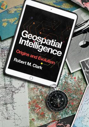
Geospatial Intelligence: Origins and Evolution by Robert M. Clark 9781647120115
RRP: £40.00Booksplease Price: £38.54A riveting introduction to the complex and evolving field of geospatial intelligence. Although geospatial intelligence is a term of recent origin, its underpinnings have a long and interesting history. Geospatial Intelligence: Origins and Evolution... -

Introduction to Microwave Remote Sensing by Iain H. Woodhouse
RRP: £71.99Booksplease Price: £65.36Introduction to Microwave Remote Sensing offers an extensive overview of this versatile and extremely precise technology for technically oriented undergraduates and graduate students.This textbook emphasizes an important shift in conceptualization and... -

Smarter Government: How to Govern for Results in the Information Age by Martin O'Malley 9781589485242
RRP: £25.99Booksplease Price: £24.02This is the new way of governing. The time has come for the rise of the tech savvy executive: an individual who innately understands the need to help the use of technology rise at the same level across the entire organization. In Baltimore and in... -
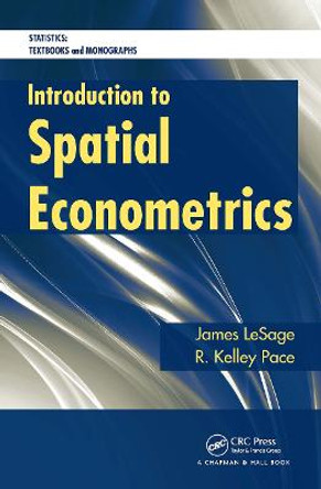
Introduction to Spatial Econometrics James P. LeSage 9781032477749
RRP: £45.99Booksplease Price: £42.43Although interest in spatial regression models has surged in recent years, a comprehensive, up-to-date text on these approaches does not exist. Filling this void, Introduction to Spatial Econometrics presents a variety of regression methods used to... -

GIS Tutorial for ArcGIS Pro 3.1 by Wilpen L. Gorr 9781589487390
Booksplease Price: £87.71This classic ArcGIS (R) exercise book has been revised and streamlined to help you learn the latest ArcGIS Pro tools and workflows.GIS Tutorial for ArcGIS Pro 3.1 is the book of choice for classrooms and self-learners seeking to develop their expertise... -

Geospatial Analysis with SQL: A hands-on guide to performing geospatial analysis by unlocking the syntax of spatial SQL by Bonny P McClain 9781835083147
Booksplease Price: £36.37Leverage the power of SQL to perform geospatial analysis and increase your speed and efficiency working with a variety of spatial applications such as PostGIS and QGIS Key Features Follow along with actionable instructions with this practical guide... -

Physical Principles of Remote Sensing by W. G. Rees 9780521181167
RRP: £61.00Booksplease Price: £56.71Fully updated and containing significant new material on photography, laser profiling and image processing, the third edition of this popular textbook covers a broad range of remote sensing applications and techniques across the Earth, environmental and... -

GIS for Science: Applying Mapping and Spatial Analytics Dawn J. Wright 9781589485303
RRP: £34.99Booksplease Price: £31.75GIS for Science presents a collection of real-world stories about modern science and a cadre of scientists who use mapping and spatial analytics to expand their understanding of the world.The accounts in this book are written for a broad audience... -

Practical Handbook of Remote Sensing Samantha Lavender 9781032214337
RRP: £47.99Booksplease Price: £44.16The number of Earth observation satellites launched in recent years is growing exponentially, along with the datasets they gather from free-to-access and commercial providers. The second edition of Practical Handbook of Remote Sensing is updated with new... -
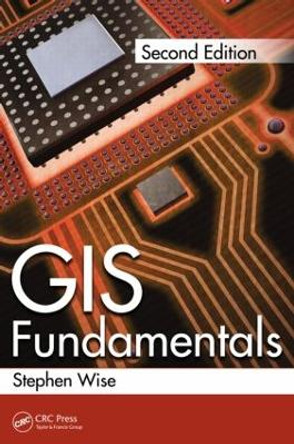
GIS Fundamentals Stephen Wise 9781439886953
RRP: £52.99Booksplease Price: £48.82With GIS technology increasingly available to a wider audience on devices from apps on smartphones to satnavs in cars, many people routinely use spatial data in a way which used to be the preserve of GIS specialists. However spatial data is stored and... -

Spatial Technology and Archaeology: The Archaeological Applications of GIS by David Wheatley
RRP: £62.99Booksplease Price: £57.23Geographical Information Systems (GIS) and related spatial technologies have a new and powerful role to play in archaeological interpretation. Beginning with a conceptual approach to the representation of space adopted by GIS, this book examines spatial... -

The Spatial Humanities: GIS and the Future of Humanities Scholarship by David J. Bodenhamer
RRP: £19.99Booksplease Price: £17.71Geographic information systems (GIS) have spurred a renewed interest in the influence of geographical space on human behavior and cultural development. Ideally GIS enables humanities scholars to discover relationships of memory, artifact, and experience... -

Getting to Know Web GIS by Pinde Fu 9781589487277
Booksplease Price: £96.64Get the latest information about online GIS using ArcGIS (R) apps and functionality. Capabilities of Web GIS keep expanding, and Getting to Know Web GIS, fifth edition, describes some of the most cutting-edge and exciting innovations. From publishing... -

Urban Remote Sensing by Zhenfeng Shao
RRP: £80.00Booksplease Price: £71.72This compendium is based on more than ten years of urban remote sensing teaching experience, scientific research achievements, and the latest developments of remote sensing technology.The volume is divided into ten chapters, which describes the... -
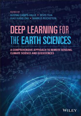
Deep Learning for the Earth Sciences: A Comprehensive Approach to Remote Sensing, Climate Science and Geosciences Gustau Camps-Valls (University of Valencia, Spain) 9781119646143
RRP: £115.95Booksplease Price: £103.33DEEP LEARNING FOR THE EARTH SCIENCES Explore this insightful treatment of deep learning in the field of earth sciences, from four leading voices Deep learning is a fundamental technique in modern Artificial Intelligence and is being applied to... -
Deep Learning for Remote Sensing Images with Open Source Software by Remi Cresson
RRP: £34.99Booksplease Price: £32.86In today's world, deep learning source codes and a plethora of open access geospatial images are readily available and easily accessible. However, most people are missing the educational tools to make use of this resource. Deep Learning for Remote... -

3D Imaging of the Environment: Mapping and Monitoring by John Meneely 9780367337933
RRP: £100.00Booksplease Price: £89.74This is a comprehensive, overarching, interdisciplinary book and a valuable contribution to a unified view of visualisation, imaging, and mapping. It covers a variety of modern techniques, across an array of spatial scales, with examples of how to map,... -

Top 20 Essential Skills for ArcGIS Online by Craig Carpenter 9781589487802
Booksplease Price: £38.39Making interactive web maps has never been easier. Top 20 Essential Skills for ArcGIS Online guides readers, step by step, through the process of creating maps that simplify location data and unlock spatial insights. In just a few clicks, you'll... -

Emitter Detection and Geolocation for Electronic Warfare Nicholas O'Donoughue 9781630815646
RRP: £119.00Booksplease Price: £109.20This comprehensive resource provides theoretical formulation for detecting and geolocating non-cooperative emitters. Implementation of geolocation algorithms are discussed, as well as performance prediction of a hypothetical passive location system for... -
A Short Introduction to Geospatial Intelligence by Jack O'Connor 9781032566948
RRP: £42.99Booksplease Price: £39.81A Short Introduction to Geospatial Intelligence explains the newest form of intelligence used by governments, commercial organizations, and individuals. Geospatial intelligence combines late 20th century historically derived ways of thinking and early... -

LiDAR Remote Sensing and Applications by Pinliang Dong 9781138747241
RRP: £92.99Booksplease Price: £83.33Ideal for both undergraduate and graduate students in the fields of geography, forestry, ecology, geographic information science, remote sensing, and photogrammetric engineering, LiDAR Remote Sensing and Applications expertly joins LiDAR principles, data... -

The Laser That's Changing the World: The Amazing Stories behind Lidar, from 3D Mapping to Self-Driving Cars by Todd Neff
Booksplease Price: £15.38Tells the story of a laser technology that will have a big impact on society and the brilliant innovators responsible for its development Lidar--a technology evolved from radar, but using laser light rather than microwaves--has found an astounding... -

Image Processing and GIS for Remote Sensing: Techniques and Applications Jian Guo Liu (Department of Earth Science and Eng) 9781118724200
RRP: £75.95Booksplease Price: £69.31Following the successful publication of the 1st edition in 2009, the 2nd edition maintains its aim to provide an application-driven package of essential techniques in image processing and GIS, together with case studies for demonstration and guidance in... -

Hydroinformatics: Data Integrative Approaches in Computation, Analysis, and Modeling by Praveen Kumar 9780367453978
RRP: £72.99Booksplease Price: £65.92Modern hydrology is more interdisciplinary than ever. Staggering amounts and varieties of information pour in from GIS and remote sensing systems every day, and this information must be collected, interpreted, and shared efficiently. Hydroinformatics:... -

Imagery and GIS: Best Practices for Extracting Information from Imagery by Kass Green 9781589484542
Booksplease Price: £89.59Imagery and GIS, working together, expand our perspective so that we can better perceive and understand The Science of Where (TM).Today, most maps include imagery in the form of aerial photos, satellite images, thermal images, digital elevation models,... -
Practical Handbook of Thematic Cartography: Principles, Methods, and Applications Nicolas Lambert 9781032474472
RRP: £46.99Booksplease Price: £43.30Maps are tools used to understand space, discover territories, communicate information, and explain the results of geographical analysis. This practical handbook is about thematic cartography. With more than 120 colorful amazing illustrations, numerous... -
GIS: An Introduction to Mapping Technologies, Second Edition Patrick McHaffie (Dept. of Geography, DePaul University) 9781032308975
RRP: £100.00Booksplease Price: £89.44The second edition of this introductory GIS textbook is thoroughly rewritten and updated to respond to the demand for critical engagement with technologies that address relevant issues across several disciplines preparing students for higher-level work... -

GIS Algorithms by Ningchuan Xiao
RRP: £57.00Booksplease Price: £49.10Geographic information systems (GIS) have become increasingly important in helping us understand complex social, economic, and natural dynamics where spatial components play a key role. The critical algorithms used in GIS, however, are notoriously... -

Practical Applications of GIS for Archaeologists: A Predictive Modelling Toolkit Konnie L. Wescott (Argonne National Laboratory, Illinois, USA) 9780748408306
RRP: £89.99Booksplease Price: £80.72The use of GIS is the most powerful technology introduced to archaeology since the introduction of carbon 14 dating. The most widespread use of this technology has been for the prediction of archaeological site locations. This book focuses on the use of... -

The Map Reader: Theories of Mapping Practice and Cartographic Representation by Dr. Martin Dodge 9780470742839
RRP: £101.95Booksplease Price: £92.84WINNER OF THE CANTEMIR PRIZE 2012 awarded by the Berendel Foundation The Map Reader brings together, for the first time, classic and hard-to-find articles on mapping. This book provides a wide-ranging and coherent edited compendium of key scholarly... -

Spatial Analysis Methods and Practice: Describe - Explore - Explain through GIS by George Grekousis
RRP: £63.00Booksplease Price: £56.89This is an introductory textbook on spatial analysis and spatial statistics through GIS. Each chapter presents methods and metrics, explains how to interpret results, and provides worked examples. Topics include: describing and mapping data through... -
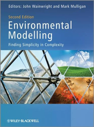
Environmental Modelling: Finding Simplicity in Complexity by Mark Mulligan 9780470749111
RRP: £76.95Booksplease Price: £70.19Simulation models are an established method used to investigate processes and solve practical problems in a wide variety of disciplines. Central to the concept of this second edition is the idea that environmental systems are complex, open systems. The... -

Leaf Optical Properties by Stephane Jacquemoud 9781108481267
RRP: £84.00Booksplease Price: £79.12Plant leaves collectively represent the largest above-ground surface area of plant material in virtually all environments. Their optical properties determine where and how energy and gas exchange occurs, which in turn drives the energy budget of the... -

Map Projections: A Reference Manual L M Bugayevskiy 9780748403042
RRP: £115.00Booksplease Price: £102.79Map projection concerns the science of mathematical cartography, the techniques by which the Earth's dimensions, shape and features are translated in map form, be that two-dimensional paper or two- or three- dimensional electronic representations. The... -

Physical Principles of Remote Sensing by W. G. Rees
RRP: £104.00Booksplease Price: £94.64Fully updated and containing significant new material on photography, laser profiling and image processing, the third edition of this popular textbook covers a broad range of remote sensing applications and techniques across the Earth, environmental and... -

Bistatic SAR Data Processing Algorithms by Xiaolan Qiu 9781118188088
RRP: £126.95Booksplease Price: £115.07BISTATIC SAR DATA PROCESSING ALGORITHMS Synthetic Aperture Radar (SAR) is critical for remote sensing. It works day and night, in good weather or bad. Bistatic SAR is a new kind of SAR system, where the transmitter and receiver are placed on two separate... -

GeoAI: Artificial Intelligence in GIS by Ismael Chivite 9781589488885
RRP: £59.99Booksplease Price: £47.12“GeoAI—the integration of spatial analysis, AI, and big data—is creating new insights that promise to transform our understanding of the world.” Jack Dangermond, president of Esri Discover how organizations are powering greater automation, prediction,... -
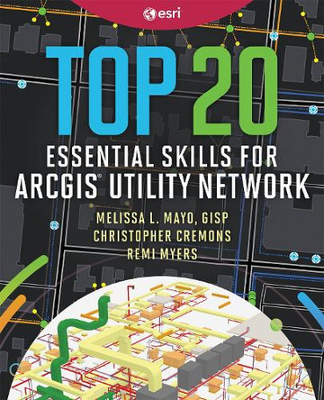
Top 20 Essential Skills for ArcGIS Utility Network by Melissa L. Mayo 9781589488854
RRP: £79.99Booksplease Price: £60.81Learn how to use ArcGIS Utility Network, the powerful software that handles the complexity of modern utility systems now and into the future.Top 20 Essential Skills for ArcGIS Utility Network is a practical guide for GIS technicians and analysts, whether...
