Filter By
- Book
- Qty in Cart
- Quantity
- Price
- Subtotal
-
Atlantic France: Cruising Ouessant to the Spanish Border: 2023 by Imray 9781786793744
RRP: £47.50£40.03From Ouessant in the north to Hendaye on the Spanish border, the third edition of this comprehensive sailing guide to the Atlantic coast of France has, once again, been thoroughly revised and updated by Nick Chavasse aboard his Bowman 40, Wild Bird. ... -

Imray Chart A27: Antigua: 2022 by Imray 9781786794154
RRP: £21.95£19.65Imray-Iolaire charts for Caribbean are widely acknowledged as the best available for the cruising sailor. They combine the latest official survey data with first-hand information gathered over 60 years of research by Don Street Jr and his wide network... -

Philip's Skye and Lochalsh: Leisure and Tourist Map: Leisure and Tourist Map by Philip's Maps
RRP: £6.99£6.44Brand new edition from Philip's of this information-packed sheet map of Skye and Lochalsh, giving detailed coverage of the road network, and featuring all the major places of tourist, cultural and historic interest.From the colourful town of Portree to... -

RCCPF Norway: Oslo to North Cape and Svalbard: 2022 by RCCPF
RRP: £65.00£52.18It includes coverage of the Lofoten and Vesteralen islands, the Arctic archipelago of Svalbard and the remote volcanic island of Jan Mayen. Author Judy Lomax continues to sail this beguiling coastline of majestic fjords and multiple islands and uses... -
Wilderness Navigation: Finding Your Way Using Map, Compass, Altimeter & GPS by Bob Burns 9781594859458
RRP: £16.95£12.71Apologies but we at Booksplease don't have a full description for this book.Book InformationISBN 9781594859458Author Bob BurnsFormat PaperbackPage Count 176Imprint Mountaineers BooksPublisher Mountaineers BooksWeight(grams) 259gDimensions(mm) 213mm *... -
Inshore Along the Dorset Coast by Bruce Peter 9781871680416
£17.23Apologies but we at Booksplease don't have a full description for this book.Book InformationISBN 9781871680416Author Bruce PeterFormat PaperbackPage Count 136Imprint Boldre MarinePublisher Boldre MarineWeight(grams) 142gDimensions(mm) 210mm * 150mm * 10mm -

Navigation: A Very Short Introduction by Jim Bennett
RRP: £8.99£6.82From the Bronze Age mariners of the Mediterranean to contemporary sailors using satellite-based technologies, the history of navigation at sea, the art of finding a position and setting a course, is fascinating. The scientific and technological... -

Imray Chart E2: Islas Canarias: 2022 by Imray 9781786794284
RRP: £23.95£19.65Plans included: Tazacorte (1:10 000) Puerto de Santa Cruz (1:12 500) Puerto de San Sebastian de la Gomera (1:10 000) Puerto de la Estaca (1:7500) Darsena de Los Llanos (Marina Santa Cruz) (1:17 500) Darsena Pesquera (Marina Tenerife) (1:17 500) Puerto de... -
Illustrated Navigation: Traditional, Electronic & Celestial Navigation Ivar Dedekam 9781909911581
RRP: £13.99£9.44Today, yachts are often equipped with radar, GPS, chart plotters, AIS, etc. This equipment has also become much more reliable, making it possible to make long offshore passages without a great knowledge of navigation. However, such equipment can be set... -
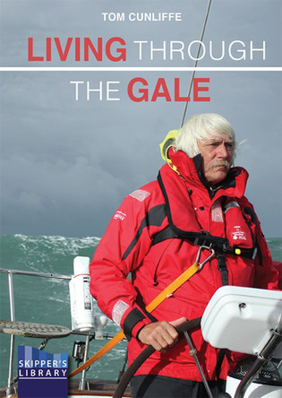
Living Through The Gale: Being Prepared for Heavy Weather at Sea by Tom Cunliffe
RRP: £16.99£11.62Heavy weather is a lurking spectre that most of us hope and plan to avoid, but not even internet forecasting can make it go away. Anyone intent on crossing oceans must be ready to deal with it if it comes, as well it may. Even well-informed inshore and... -

Imray Chart Y23: Poole Harbour: 2022 by Imray 9781786793492
RRP: £23.50£22.12This edition includes the latest official UKHO data, combined with additional information sourced from Imray's network to make it ideal for small craft. The chart has been fully revised throughout. Plans included: Holes Bay (1:10 000) Salterns... -
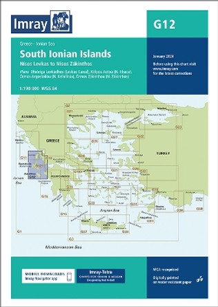
G12 South Ionian Islands: Nisos Levkas to Nisos Zakinthos: 2024 by Imray 9781786795458
RRP: £23.95£22.69Imray-Tetra charts for the Ionian and Aegean are widely acknowledged as the best available for the cruising sailor. They combine the latest official survey data with first-hand information gathered by Rod and Lucinda Heikell. The chart is designed to be... -

Norwich A-Z Pocket Street Map by A-Z Maps
RRP: £3.99£3.96Navigate your way around Norwich with detailed street maps from A-Z This up-to-date, folded A-Z street map includes more than 2000 streets in and around Norwich. As well as the Norwich Cathedral and central Norwich, the other areas covered... -
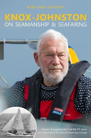
Knox-Johnston on Seamanship & Seafaring: Lessons & experiences from the 50 years since the start of his record breaking voyage Robin Knox-Johnston 9781912177141
RRP: £14.99£9.50On 14th June 1968 Robin Knox-Johnston set sail from Falmouth to take part in the Sunday Times Golden Globe Race - the first, non-stop, single-handed sailing race around the world. He was an unknown 29-year old Merchant Navy Officer. Ten and a half months... -
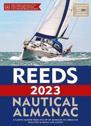
Reeds Nautical Almanac 2023 by Perrin Towler
RRP: £49.99£48.83Reeds Nautical Almanac is the indispensable trusted annual compendium of navigational data for yachtsmen and motorboaters. Known as the Yachtsman's Bible, Reeds provides all the information required to navigate Atlantic coastal waters around the... -

Portsmouth Pocket Street Map by A-Z maps
RRP: £3.99£3.10Navigate your way around Portsmouth with detailed street maps from A-Z This up-to-date detailed, folded A-Z street map includes more than 2000 streets in and around Portsmouth. As well as ferry routes from Portsmouth Harbour, other areas... -
Balearic Islands: Cruising Ibiza, Formentera, Mallorca, Cabrera and Menorca: 2023 by David & Susie Baggaley 9781786793546
RRP: £44.50£36.87The twelth edition of this renamed popular title covers Ibiza, Formentera, Mallorca, Cabrera and Menorca. The only fully comprehensive pilot guide to the Spanish islands in English, Balearic Islands offers guidance and information to yacht charterers... -

The River Great Ouse and its tributaries: including the Rivers Cam, Lark, Little Ouse & Wissey, Hundred Foot River, Relief Channel by Chris Howes 9781786795342
RRP: £15.95£13.70This seventh edition has been revised with new photos, updated technical and local information, and covers 60 miles of navigable waterways, including the tidal section to Kings Lynn and gems such as the Cambridge Backs World Heritage site. This guide... -

CCC Sailing Directions - Kintyre to Ardnamurchan: Clyde Cruising Club Sailing Directions and Anchorages: 2020 Imray 9781786791665
RRP: £37.50£30.86Within easy reach of all the main harbours and marinas lie an abundance of lochs and islands with numerous idyllic anchorages to explore. Some of these are easy to find, others pose more of a navigational challenge and are accessed via intricate channels... -

The River Nene: 2020 by Iain Smith 9781786791634
RRP: £12.95£11.37With support from the Inland Waterways Association, Friends of the River Nene and others, and drawing on his longstanding connection with the river, Roger Green has thoroughly revised and updated this popular guide. A new design includes thorough... -

Imray Chart C66: Mallaig to Rudha Reidh and Outer Hebrides by Imray 9781846237478
RRP: £25.95£21.21Plans included: Loch Gairloch (1:40 000) Kyleakin (1:40 000) Portree (1:25 000) Uig (1:35 000) Dunvegan (1:40 000) Loch Boisdale (South Uist) (1:25 000) Loch Carnan (1:20 000) Loch Maddy (1:40 000) East Loch Tarbert (1:60 000) St Kilda (1:150 000) On... -

Imray Chart C10: Western English Channel Passage Chart: 2023 by Imray 9781786794611
RRP: £25.95£21.37Coverage on this chart allows for passage planning in the Western English Channel, from Isles of Scilly to the Isle of Wight, and from Ile d'Ouessant to Cherbourg. The latest official UKHO data is included, combined with additional information sourced... -
East Aegean: Greek Dodecanese islands and the Turkish coast from the Samos Strait as far east as Kas and Kekova Rod Heikell 9781786791788
RRP: £22.50£18.52The expanded third edition of this popular cruising guide encompasses the Greek Dodecanese islands and the Turkish coast eastwards from the Samos Strait to Kas and Kekova. Fully illustrated with up to date plans and numerous new photographs, it is packed... -

GMDSS: A User's Handbook by Denise Brehaut
RRP: £22.00£16.87The Global Maritime Distress and Safety System (GMDSS) - the maritime equivalent to the emergency services number - provides a fast and efficient way of calling for assistance at sea, whatever the size of craft or its location. Denise Brehaut... -
The Barefoot Navigator: Wayfinding with the Skills of the Ancients by Jack Lagan
RRP: £17.99£14.28'Barefoot navigation: 5,000 years in the making.' Barefoot Navigator introduces us to a unique take on navigation - using the skills of the ancients and technology-free techniques, we learn how to navigate using the sun, sea, wind and stars, and even... -
Ardnamurchan to Cape Wrath: Clyde Cruising Club Sailing Directions & Anchorages: 2022 Imray 9781786793232
RRP: £37.50£30.86The intricate and stunning coastline of lochs and islands offers a rich and varied cruising ground with a multitude of anchorages, many beneath a dramatic backdrop of munros. This third edition, updated by Edward Mason, includes revised text and a... -

Leicester Pocket Street Map by A-Z maps
RRP: £3.99£3.10Navigate your way around Leicester with detailed street maps from A-Z This up-to-date, folded A-Z street map includes all of the 2000 streets in and around Leicester. As well as the city centre and Leicester Cathedral, the other areas covered... -
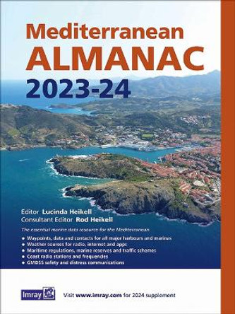
Mediterranean Almanac 2023/24: 2023 Rod & Lucinda Heikell 9781786794420
RRP: £34.50£24.46It includes: Data, waypoints and contacts for all major harbours and marinas throughout the Mediterranean Sea plus Atlantic Islands. Weather sources for radio, internet and apps Information on lights and buoys Maritime regulations, marine reserves... -

Day Skipper Exercises for Sail and Power by Roger Seymour
RRP: £20.00£18.96Day Skipper Exercises is a partner to the Day Skipper for Sail and Power course book, providing extra practice for students, helping them to absorb the theory in the main book. It contains practice test papers with fully explained answers, on all parts... -
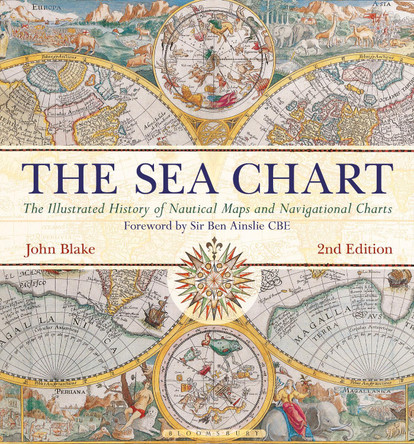
The Sea Chart by John Blake
RRP: £32.99£26.37To sail the oceans needed skill as well as courage and experience, and the sea chart with, where appropriate, the coastal view, was the tool by which ships of trade, transport or conquest navigated their course. This book looks at the history and... -

50 Miles around Bristol A-Z Road Map A-Z Maps 9781782570547
RRP: £5.95£4.32This A-Z 50 Miles around Bristol map is a full colour, single sided, fold-out road map featuring continuous mapping extending to include Worcester and Stratford-upon-Avon to the north, Witney and Andover to the east, Bournemouth and Lyme Regis to the... -

Channel Islands, Cherbourg Peninsula & North Brittany: Cruising St Vaast to Ouessant: 2023 RCCPF/P Carnegie & A Finding RCCPF P Carnegie A Finding 9781786793737
RRP: £47.50£40.03This revision of the RCC Pilotage Foundation''s pilot updates the combined volume for this area which encompasses the Channel Islands and extends from St Vaast La Hougue on the east of the Cherbourg peninsula, and works westwards along the Normandy and... -

C18 Western Approaches to the English Channel & Bay of Biscay: Passage Chart: 2021 IMRAY 9781786792136
RRP: £25.95£21.21For this 2021 edition the chart has been fully updated throughout using the latest known depths, buoyage, and areas and limits.About the AuthorImray Laurie Norie & Wilson Ltd was formed in 1904 when three private chart publishing firms amalgamated. Each... -

C80 British Isles: 2021 by Imray
RRP: £25.95£22.01On this edition the magnetic variation curves have been updated with 2020 data. Under new royalty terms, the DGA (Danish Geodata Agency) have made it unviable to reproduce their copyrighted data. All DGA data has been removed from this chart. There has... -
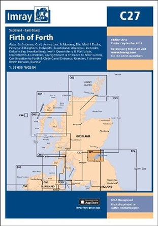
Imray Chart C27: Firth of Forth by Imray Imray 9781786790590
RRP: £25.95£21.21St Andrews (1:7500) Crail (1:7500) Anstruther (1:7500) St Monans (1:7500) Elie (1:10 000) Methil Docks (1:11 000) Pettycur & Kinghorn (1:17 500) Inchkeith (1:25 000) Burntisland (1:20 000) Aberdour (1:12 500) Inchcolm (1:15 000) Dalgety Bay... -
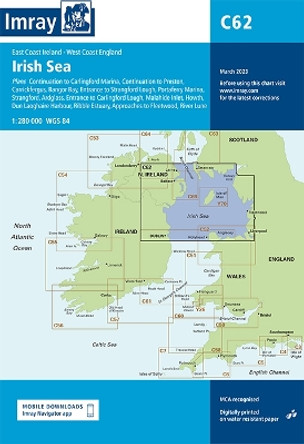
Imray Chart C62: Irish Sea: 2020 by Imray 9781786791917
RRP: £25.95£21.21Apologies but we at Booksplease don't have a full description for this book.About the AuthorImray Laurie Norie & Wilson Ltd was formed in 1904 when three private chart publishing firms amalgamated. Each of these London companies had a long history going... -

Day Skipper for Sail and Power: The Essential Manual for the RYA Day Skipper Theory and Practical Certificate by Roger Seymour
RRP: £24.00£19.17The ideal reference book for anyone following the RYA Day Skipper course. With a refreshingly practical approach, illustrated throughout with clear diagrams, worked examples and colour photography, this 4th edition covers all the theory and practical... -
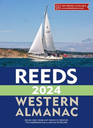
Reeds Western Almanac 2024 by Perrin Towler 9781399409537
RRP: £40.99£38.26The Reeds Western Almanac covers the coastline from Cape Wrath to Padstow as well as the whole of Ireland, and is ideal for any boater lucky enough to cruise and race in the superb waters off the coast of Wales, Western Scotland, Ireland or Western... -

North Sea Passage Pilot: 2022 by Imray
RRP: £32.50£26.84Under his authorship, this edition has been restructured to reflect the changing nature of passages across the North Sea. As well as a consideration of the various Traffic Separation Schemes, routes take into account the many new offshore windfarms and... -

Elvstrøm Explains the Racing Rules: 2021-2024 Rules (with model boats) by Paul Elvstrom
RRP: £20.00£17.10'This book is a must-have for any serious racing sailor' - Sir Ben Ainslie, four-time Olympic gold winning sailor Paul Elvstrom is arguably the greatest Olympic sailor of all time. Proving that understanding the rules is crucial to winning, he devised...
