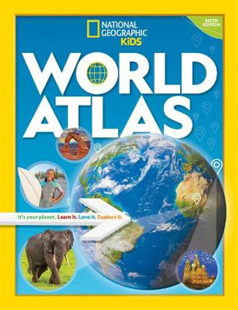
Description
provides authoritative maps of every country, ocean, and region of the world,
as well as thematic maps and accompanying graphics showing important
population, environmental, and economic patterns. Organized by continent and
reflecting today's political boundaries and identities, this authoritative atlas is
an indispensable reference for schools and libraries, as well as the latest
resource for home browsing and study. A thematically organized opening
section uses current data to visualize urgent concerns, such as Earth's last wild
places, changing freshwater availability, human migration and refugee
movement, and human rights conditions globally. The back of the book
contains basic facts and flags of every country, as well as a comprehensive
index cross-referencing more than 150,000 place names.
Created for all global citizens, this universally respected volume of world maps has been completely revised and updated with fascinating visualizations of international trends and global conditions.
About the Author
With more than a century of mapmaking experience, NATIONAL GEOGRAPHIC continues to be one of the world's preeminent cartographic publishers. The new 11th edition atlas is produced by a deeply experienced editorial and cartographic team, in collaboration with preeminent scientists, scholars, and researchers, continuing a legacy of publishing quality atlas products that combine the art and science of mapmaking.
ALEXANDER M. TAIT, M.Sc., is The Geographer at the National Geographic Society. He heads National Geographic's Map Policy Committee, leads mapping initiatives for Nat Geo Labs, and provides mapping and geography expertise for programs and media throughout National Geographic. He has worked as a cartographer at the Washington Post, a lecturer at the University of Maryland, and adviser to legal teams on the UN Convention on the Law of the Sea.
Reviews
"If you're going to buy just one atlas this fall, make it the 11th edition of the NATIONAL GEOGRAPHIC ATLAS OF THE WORLD (National Geographic, $215), a 7.8-pound behemoth that's a foot and a half long and a foot wide. Its mammoth size allows you to appreciate the details in its dozens of maps - satellite maps, cultural maps and physical maps, all of them striking. The best one, "Life on a Warming Planet," lays out where temperatures are rising (and by how much), where permafrost is melting, what nations emit the most carbon dioxide and which large cities are at high risk." -The New York TImes
Book Information
ISBN 9781426220586
Author National Geographic
Format Hardback
Page Count 448
Imprint National Geographic Society
Publisher National Geographic Society


![National Geographic Student World Atlas (Atlas) by National Geographic Kids 9781426334801 [USED COPY] National Geographic Student World Atlas (Atlas) by National Geographic Kids 9781426334801 [USED COPY]](https://cdn11.bigcommerce.com/s-zkx5lhzlf8/images/stencil/444x444/products/5133903/5211165/9781426334801__47472.1724476079.jpg?c=1)
