


Description
Covers a large area yet is handily compact. Pocket perfect!
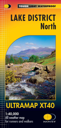
Detailed map for runners and walkers of the western fells of the Lake District National Park at the magic scale of 1:40,000.
Scafell and the Langdale Pikes, and fells west of the Kendal-Keswick road.
Hard Knott and Wrynose Passes. Ennerdale, Wast Water and Coniston Water.
Includes 74 Wainwrights.
Fully detailed genuine HARVEY mapping
Includes Rights of Way
Use without a map case: tough and 100% waterproof
Opens directly to either side of the sheet
Book Information
ISBN 9781851377190
Imprint Harvey Map Services Ltd
Publisher Harvey Map Services Ltd
Weight(grams) 25g
Detailed map for runners and walkers of the western fells of the Lake District National Park at the magic scale of 1:40,000.
Scafell and the Langdale Pikes, and fells west of the Kendal-Keswick road.
Hard Knott and Wrynose Passes. Ennerdale, Wast Water and Coniston Water.
Includes 74 Wainwrights.
Fully detailed genuine HARVEY mapping
Includes Rights of Way
Use without a map case: tough and 100% waterproof
Opens directly to either side of the sheet
Book Information
ISBN 9781851377190
Imprint Harvey Map Services Ltd
Publisher Harvey Map Services Ltd
Weight(grams) 25g