Description
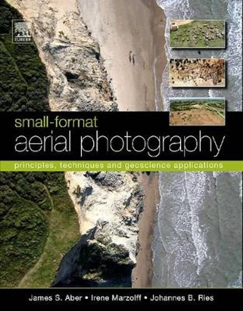
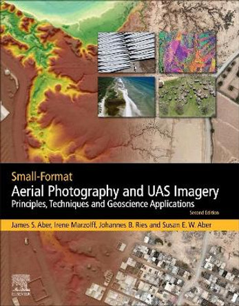
Covers basic and advanced principles and techniques, with an emphasis on digital cameras
About the Author
Dr. Aber has a PhD in Geology from the University of Kansas. His interests and research experience are wide ranging in geology, tectonics, landscape evolution, wetland environments, remote sensing, aerial photography, and energy resources. He has conducted field investigations across the United States as well as Canada, Scandinavia, Central Europe and Japan. He is a distinguished professor at Emporia State University, Kansas. Dr. Marzoff is a physical geographer and remote sensing/GIS scientist holding a Ph.D. from Freiburg University, Germany. She has been working on high-resolution remote sensing methods for monitoring land degradation and erosion since 1995. She has been involved in designing and building several unmanned platforms for small-format aerial photography and has developed remote-sensing and photogrammetry-based methods for quantifying geomorphological processes in high temporal and spatial resolution. She has collaborated in numerous research projects with colleagues from Belgium, Germany, India, Morocco, Spain and the USA Dr. Ries holds a Ph.D. from Freiburg University, Germany. His research focusses on methodological questions regarding erosion, land degradation and desertification. His main expertise lies in experimental geomorphology, and small-format aerial and terrestrial photography has always been an integral part of his research concepts and projects. He has extensive international research cooperation and during recent years has conducted fieldwork mostly in semi-arid regions of Europe and Africa
Book Information
ISBN 9780444638236
Author James S. Aber
Format Paperback
Page Count 268
Imprint Elsevier Science Ltd
Publisher Elsevier Science & Technology
Weight(grams) 520g


