null

Recently Viewed

New

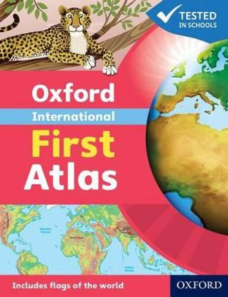
Oxford International First Atlas (2011) by Patrick Wiegand

No reviews yet Write a Review
RRP: £8.99
£6.45
Booksplease saves you

  Delivery: We ship to over 200 countries!
  Range: Millions of books available
  Reviews: Booksplease rated "Excellent" on Trustpilot

SKU:
9780198480204
Weight:
160.00 Grams
Available from Booksplease!
Availability: Usually dispatched within 2 working days

Frequently Bought Together:

Total: Inc. VAT
Total: Ex. VAT

Description

Have you ever wondered... * What the Earth looks like from space? * How many continents there are? * Where Mount Everest is? Find out in your very first atlas! The Oxford International First Atlas is a stimulating first atlas for young children. It is completely up-to-date with accurate, easy-to-read and colourful mapping, presented in an accessible visual layout based on research into how young children use maps. It introduces young learners to maps and develops early atlas skills, encouraging them to talk about local and distant places and to find key places on maps. It includes: * An introduction to the globe and places around the world * Stunning images of the Earth from space * Clear and colourful maps of the world and all the continents * Popular themes such as world animals and holidays * Fascinating facts about places and people. The Oxford International First Atlas is also accompanied by the Activity Book for independent work to develop map literacy skills.

Ideal introductory atlas for young children

About the Author
Dr Patrick Wiegand taught in primary and secondary schools before being appointed to the School of Education at the University of Leeds where he trained teachers, taught on Masters' programmes and supervised PhD students. He became Head of Teacher Training at the University of Leeds and then Reader in Geography Education. He has researched children's thinking with maps and Geographic Information Systems (GIS) throughout his career and has published many books, chapters and research papers in this area including Learning and Teaching with Maps (Routledge, 2006). He was Chair of the Cartography and Children Commission of the International Cartographic Association, held a Leverhulme Research Fellowship in GIS in Education, and has served on the UK Committee for Cartography. He has always worked to improve the quality and usability of classroom teaching materials and has been Editorial Adviser for OUP atlases for 30 years.


Book Information
ISBN 9780198480204
Author Dr Patrick Wiegand
Format Paperback
Page Count 32
Imprint Oxford University Press
Publisher Oxford University Press
Weight(grams) 107g
Dimensions(mm) 232mm * 188mm * 3mm

Reviews

No reviews yet Write a Review

Booksplease  Reviews


J - United Kingdom

Fast and efficient way to choose and receive books

This is my second experience using Booksplease. Both orders dealt with very quickly and despatched. Now waiting for my next read to drop through the letterbox.

J - United Kingdom

T - United States

Will definitely use again!

Great experience and I have zero concerns. They communicated through the shipping process and if there was any hiccups in it, they let me know. Books arrived in perfect condition as well as being fairly priced. 10/10 recommend. I will definitely shop here again!

T - United States

R - Spain

The shipping was just superior

The shipping was just superior; not even one of the books was in contact with the shipping box -anywhere-, not even a corner or the bottom, so all the books arrived in perfect condition. The international shipping took around 2 weeks, so pretty great too.

R - Spain

J - United Kingdom

Found a hard to get book…

Finding a hard to get book on Booksplease and with it not being an over inflated price was great. Ordering was really easy with updates on despatch. The book was packaged well and in great condition. I will certainly use them again.

J - United Kingdom