Filter By
- Book
- Qty in Cart
- Quantity
- Price
- Subtotal
-

Isles of Scilly by Ordnance Survey 9780319243039
RRP: $16.76$11.33OS Explorer is the Ordnance Survey's most detailed map and is recommended for anyone enjoying outdoor activities like walking, horse riding and off-road cycling. The OS Explorer range now includes a digital version of the paper map, accessed through the... -

London's Hidden Walks Volume 4 by Stephen Millar 9781902910680
RRP: $15.47$10.87Apologies but we at Booksplease don't have a full description for this book.Book InformationISBN 9781902910680Author Stephen MillarFormat PaperbackPage Count 384Imprint Metro Publications, N1Publisher Metro Publications, N1Weight(grams) 105g -

Exploring the Elizabeth Line: 23 Walks from Crossrail Stations by Jeff Lock 9781846744143
RRP: $11.60$9.55A direct rail link from east to west across London was a vision for over 35 years, and with the arrival of the Elizabeth Line it finally became a reality. The opening of this line, with its improved connectivity and shorter journeys, is great news for... -

Hastings and Bexhill by Ordnance Survey 9780319243206
RRP: $16.76$11.33OS Explorer is the Ordnance Survey's most detailed map and is recommended for anyone enjoying outdoor activities like walking, horse riding and off-road cycling. The OS Explorer range now includes a digital version of the paper map, accessed through the... -

Northumberland & the Scottish Borders: 2016 by Dennis Kelsall 9780319090268
RRP: $16.76$11.73Pathfinder(R) Northumberland and the Scottish Borders covering Blanchland, Melrose and Hartside. This selection offers interest, regional variety and balance of routes in Northumberland the the Scottish Borders providing the best walks in the area. From... -

Maidstone and the Medway Towns by Ordnance Survey
RRP: $16.76$11.33OS Explorer is the Ordnance Survey's most detailed map and is recommended for anyone enjoying outdoor activities like walking, horse riding and off-road cycling. The OS Explorer range now includes a digital version of the paper map, accessed through the... -
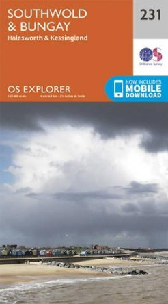
Southwold and Bungay by Ordnance Survey 9780319244241
RRP: $16.76$11.33OS Explorer is the Ordnance Survey's most detailed map and is recommended for anyone enjoying outdoor activities like walking, horse riding and off-road cycling. The OS Explorer range now includes a digital version of the paper map, accessed through the... -
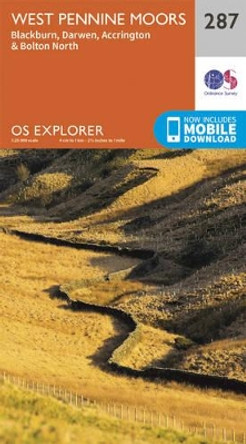
West Pennine Moors - Blackburn, Darwen and Accrington by Ordnance Survey 9780319244845
RRP: $16.76$11.33OS Explorer is the Ordnance Survey's most detailed map and is recommended for anyone enjoying outdoor activities like walking, horse riding and off-road cycling. The OS Explorer range now includes a digital version of the paper map, accessed through the... -

Clovelly and Hartland by Ordnance Survey
RRP: $16.76$11.33OS Explorer is the Ordnance Survey's most detailed map and is recommended for anyone enjoying outdoor activities like walking, horse riding and off-road cycling. The OS Explorer range now includes a digital version of the paper map, accessed through the... -
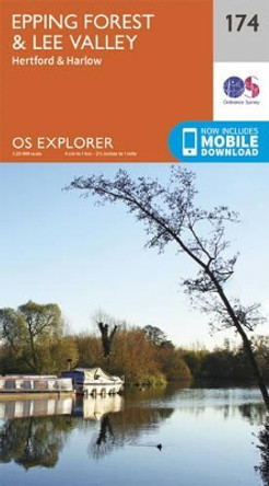
Epping Forest & Lee Valley by Ordnance Survey 9780319243671
RRP: $16.76$11.33OS Explorer is the Ordnance Survey's most detailed map and is recommended for anyone enjoying outdoor activities like walking, horse riding and off-road cycling. The OS Explorer range now includes a digital version of the paper map, accessed through the... -
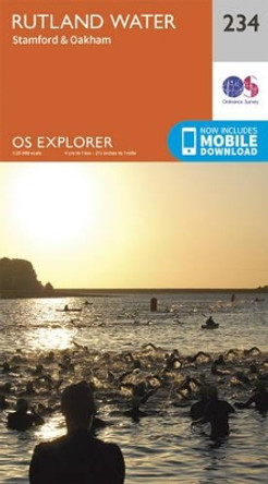
Rutland Water, Stamford and Oakham by Ordnance Survey 9780319244272
RRP: $16.76$11.33OS Explorer is the Ordnance Survey's most detailed map and is recommended for anyone enjoying outdoor activities like walking, horse riding and off-road cycling. The OS Explorer range now includes a digital version of the paper map, accessed through the... -
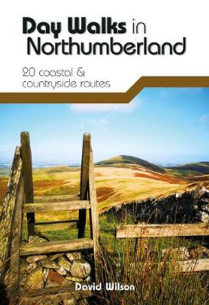
Day Walks in Northumberland: 20 coastal & countryside routes by David Wilson
RRP: $19.29$13.98Day Walks in Northumberland features 20 routes between 7.6 and 14.5 miles (12.2km and 23.3km) in length, spread across the coast and the countryside of Northumberland and suitable for hillwalkers of all abilities. Researched and written by local walking... -
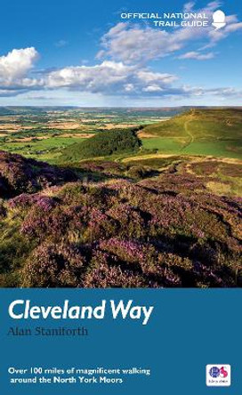
The Cleveland Way: Over 100 miles of magnificent walking around the North York Moors by Alan Staniforth
RRP: $19.34$12.64The beautifully varied Cleveland Way winds for over a hundred miles around the North York Moors National Park, from the ancient moorland town of Helmsley to the seafront at Filey, passing stunning historic sites like Helmsley Castle and Rievaulx Abbey... -

Solway Firth, Wigton and Silloth by Ordnance Survey 9780319245668
RRP: $16.76$13.91OS Explorer is the Ordnance Survey's most detailed map and is recommended for anyone enjoying outdoor activities like walking, horse riding and off-road cycling. The OS Explorer range now includes a digital version of the paper map, accessed through the... -

The Peak District: 2016 by Jan Kelsall 9780319090060
RRP: $10.31$7.47This new-style edition of Pathfinder: Short Walks Peak District is fully updated and features 20 fantastic family walks ranging in length from 2 to 6 miles. Each walk is beautifully photographed and comes with a clear, large-scale Ordnance Survey route... -

The Trossachs, Callander, Aberfoyle & Lochearnhead, Balquhidder & Strathyre by Ordnance Survey
RRP: $16.76$11.33OS Explorer is the Ordnance Survey's most detailed map and is recommended for anyone enjoying outdoor activities like walking, horse riding and off-road cycling. The OS Explorer range of OL maps now includes a digital version of the paper map, accessed... -

Cairngorms: 2017 by John Brooks 9780319090398
RRP: $16.76$11.73The Cairngorms cover 300 sq miles, making it the most mountainous area in Britain, with an equally wide range of wildlife. The native pine forest, one of the final retreats of the red squirrel, supports small, uncommon birds like crested tits, redwings... -

Eastbourne & Hastings, Battle & Heathfield by Ordnance Survey 9780319262979
RRP: $16.76$11.33The OS Landranger Map series covers Great Britain with 204 detailed maps, perfect for day trips and short breaks. Each map provides all the information you need to get to know your local area and includes places of interest, tourist information, picnic... -
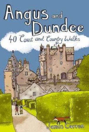
Angus and Dundee: 40 Coast and Country Walks by James Carron 9781907025150
RRP: $9.02$7.42Angus is the historical heartland of Scotland, a county where the past has left an indelible mark on the present. Prehistoric forts, ancient castles and Pictish standing stones dot a rich and varied landscape where bracing coastal hikes, tranquil... -

Knighton and Presteigne Tref-y-Clawdd a Dyffryn Elan by Ordnance Survey 9780319243947
RRP: $16.76$11.33OS Explorer is the Ordnance Survey's most detailed map and is recommended for anyone enjoying outdoor activities like walking, horse riding and off-road cycling. The OS Explorer range now includes a digital version of the paper map, accessed through the... -

Stirling and Ochil Hills West by Ordnance Survey 9780319246146
RRP: $16.76$11.33OS Explorer is the Ordnance Survey's most detailed map and is recommended for anyone enjoying outdoor activities like walking, horse riding and off-road cycling. The OS Explorer range now includes a digital version of the paper map, accessed through the... -

Peterborough, Market Deeping & Chatteris by Ordnance Survey 9780319262405
RRP: $16.76$13.91The OS Landranger Map series covers Great Britain with 204 detailed maps, perfect for day trips and short breaks. Each map provides all the information you need to get to know your local area and includes places of interest, tourist information, picnic... -

Sussex Walks: 20 walks exploring the Weald and the South Downs by Deirdre Huston 9781906148683
RRP: $15.48$10.80Sussex Walks is a collection of 20 circular walks, between 3.5 and 12 miles (5 and 19km) in length that explore the length and breadth of the county of Sussex.Wander through the county's varied and interesting landscapes; across open downland, through... -
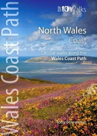
North Wales Coast: Circular Walks along the Wales Coast Path by Tony Bowerman 9781908632159
RRP: $9.02$7.42These attractive and cleverley structured guidebooks give walkers the ten finest circualr routes on a section of the Wales Coast Path in a popular pocketable format. With clear information, an overview and introduction for each walk, expertly... -

North Lewis/Ceann a Tuath Leodhais by Ordnance Survey 9780319247112
RRP: $16.76$11.33OS Explorer is the Ordnance Survey's most detailed map and is recommended for anyone enjoying outdoor activities like walking, horse riding and off-road cycling. The OS Explorer range now includes a digital version of the paper map, accessed through the... -

Dublin & Wicklow: A Walking Guide by Helen Fairbairn
RRP: $16.76$14.98l show you the way! * Also by this author: 'Northern Ireland: A Walking Guide'. For a complete list of walking guides available from The Collins Press, see www.collinspress.ieAbout the AuthorHelen Fairbairn is a full-time writer of outdoor activity... -

Bristol & Bath, Thornbury & Chew Magna by Ordnance Survey
RRP: $16.76$11.33The OS Landranger Map series covers Great Britain with 204 detailed maps, perfect for day trips and short breaks. Each map provides all the information you need to get to know your local area and includes places of interest, tourist information, picnic... -

Springwatch: Great British Walks by Luke Waterson
RRP: $24.50$16.10100 wildlife walks through our beautiful British countryside. The beautiful countryside and intimate wildlife stories explored in Springwatch have inspired viewers to get outside and reconnect with the natural world for almost 20 years. Now this new... -

Chichester & the South Downs by Ordnance Survey 9780319262955
RRP: $16.76$11.33The OS Landranger Map series covers Great Britain with 204 detailed maps, perfect for day trips and short breaks. Each map provides all the information you need to get to know your local area and includes places of interest, tourist information, picnic... -
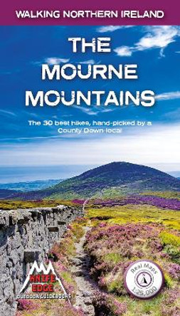
The Mourne Mountains: The 30 best hikes, handpicked by a County Down local by Andrew McCluggage 9781912933037
RRP: $18.05$14.8730 epic walks in Northern Ireland's highest mountains which sweep majestically down to the Irish Sea at the pretty seaside town of Newcastle. This proximity to the sea is a characteristic of the Mournes, often creating a mysterious atmosphere, as... -

Short Walks Exmoor: Leisure Walks for All Ages by Sue Viccars 9780319090718
RRP: $10.31$7.47Exmoor consists of wide expanses of heather and rich woodland all of which are greatly enhanced by its varied wildlife. It has the West Country's largest population of red deer, which frequent its woodland and moors and yet it remains less visited and... -

Cork, Kerry by Ordnance Survey Ireland 9781912140275
RRP: $14.18$11.29The Discovery Series are designed for tourist and leisure activities. Each one covers an area of 40km x 30km at the scale of 1:50,000. There are 93 sheets in the series. 75 are produced by Ordnance Survey Ireland and 18 by Ordnance Survey Northern... -
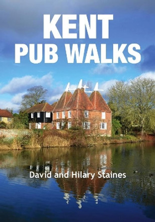
Kent Pub Walks by David Staines 9781846743412
RRP: $12.89$10.54A collection of circular walks covering historic and 'best kept' villages such as Eynsford and Lamberhurst; Lympne with its cliffs and sweeping vistas; Upnor on the River Medway; the fairy-tale sight of Leeds Castle; Appledore and its ancient port;... -

Clwydian Range, Prestatyn, Mold and Ruthin by Ordnance Survey 9780319244623
RRP: $16.76$11.33OS Explorer is the Ordnance Survey's most detailed map and is recommended for anyone enjoying outdoor activities like walking, horse riding and off-road cycling. The OS Explorer range now includes a digital version of the paper map, accessed through the... -

Malvern Hills and Bredon Hill by Ordnance Survey 9780319243831
RRP: $16.76$11.33OS Explorer is the Ordnance Survey's most detailed map and is recommended for anyone enjoying outdoor activities like walking, horse riding and off-road cycling. The OS Explorer range now includes a digital version of the paper map, accessed through the... -

The Home Counties from London by Train by Nick Channer
RRP: $16.76$11.73Are you looking to escape London for a few hours? Do you enjoy a walk in the country or a leisurely afternoon stroll, but don't want to take your car? Inside Pathfinder (R) Guide to Country Walks near London are 28 fantastic country walks all starting... -

Brecon Beacons by Ordnance Survey
RRP: $16.76$11.33The OS Landranger Map series covers Great Britain with 204 detailed maps, perfect for day trips and short breaks. Each map provides all the information you need to get to know your local area and includes places of interest, tourist information, picnic... -

Notting Hill: A Walking Guide: 2018 by Julian Mash 9781910749944
RRP: $17.42$15.61A walking guide to this historic London neighbourhood, uncovering its countercultural roots. A delightful English/Japanese pocket-size guide to London's most popular district. Through four walks London writer Julian Mash uncovers the history, culture... -

Picos de Europa Guide: 25 long and short walks with detailed maps and GPS; car tour with pull-out map by Teresa Farino 9781856915359
RRP: $19.34$12.64The go-to Picos de Europa travel guide for discovering the best walks and car tours. Strap on your boots and discover Picos de Europa on foot with the Sunflower Picos de Europa travel guide. And on the days when your feet may have had enough, enjoy... -

Aberystwyth and Cwm Rheidol by Ordnance Survey 9780319244067
RRP: $16.76$11.33OS Explorer is the Ordnance Survey's most detailed map and is recommended for anyone enjoying outdoor activities like walking, horse riding and off-road cycling. The OS Explorer range now includes a digital version of the paper map, accessed through the...
